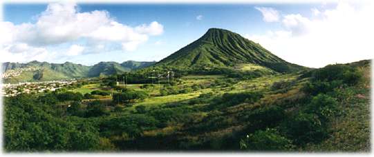
We rounded the easternmost curve of the island and headed north and
a bit inland toward the Koolau Range, which forms a spine down the northeastern
side of Oahu. As we climbed into the range, we stopped at the Nuuanu
Pali Lookout. It was very windy and cold, but we enjoyed the incredible
view.

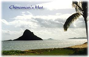 Along
with beautiful, uniquely Hawaiian scenery, the drive had a few surprises
in store for us. We were back along the coast again on Highway 83. Driving
by a newly built golf resort called Turtle Bay I noticed a small, informal
sign by the road: Palmer Golf Event. Hmmm, could that possibly
mean ..?
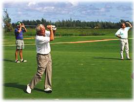 We
drove in the dirt road to see what was going on. A small group of people
were gathered around a golf hole. As we got closer, there was the unmistakable
figure of Arnold Palmer! How neat was that! He was playing some sort
of low-key exhibition, and we walked right up next to him and watched
him play a few shots. What an unexpected treat to see one of our heroes
in the flesh. Unfortunately, we couldn't stay long, we had too much
to see and too little time.
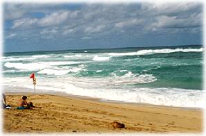 So
northward we travelled along windward Oahu. On the northern end from
Kawela to Waimea Bay, the surf is extremely big, strong, and dangerous
— this is the area of the Banzai Pipeline. We stopped and watched
the wild waves rise, roll and crash. The color of the water was such
a brilliant, luminous turquoise, it seemed it had to be lit from under
the surface.
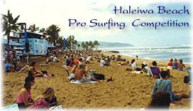 As
we got to the heart of surf country, we came upon another happening:
at Haleiwa Beach there was a crowd of spectators on the beach watching
a Pro Surfing event. We stayed for awhile, watching guys trying to ride
the serious waves.
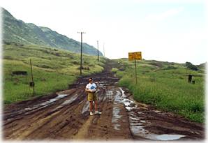 Moving on
... we went as far west as we could, toward Kaena Point and the end of
the driveable road.
We cut back inland, heading south, through the center of the island.
This area is a 1,000-foot plateau between the two spines, the Waianae
and Koolau, and has great farm land for sugarcane and alot of
pineapple. I never knew how pineapples "happened" before coming
here — from trees, maybe? No ... there were acres and acres of
rows of pineapples growing from plants in the ground. They looked as
if they were placed, centerpiece-like, amidst frond clusters. Time to
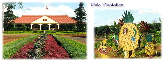
salute the pineapple: we stopped at the Dole Plantation. Neat place,
nice gifts and delicious pineapple ...
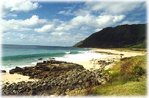 We explored the last region of Oahu the next morning, the western Waianae
coast. It was beautiful, of course, and not as commercial as other
areas. We also saw more of everyday life in Oahu, people at work, and
school kids on playgrounds and busses. Again, we went north as far as
possible ( a habit of mine — got to keep going to the very end,
can't stand to miss anything ...) and saw the other side of Kaena Point.
Time to turn around and head back to Honolulu. We had a flight to catch
— to the big island ...
Gallery...Oahu
© 2000 CCarnovale
Home
| Web Design | Graphics
| Photos | Travels


 Along
with beautiful, uniquely Hawaiian scenery, the drive had a few surprises
in store for us. We were back along the coast again on Highway 83. Driving
by a newly built golf resort called Turtle Bay I noticed a small, informal
sign by the road: Palmer Golf Event. Hmmm, could that possibly
mean ..?
  We
drove in the dirt road to see what was going on. A small group of people
were gathered around a golf hole. As we got closer, there was the unmistakable
figure of Arnold Palmer! How neat was that! He was playing some sort
of low-key exhibition, and we walked right up next to him and watched
him play a few shots. What an unexpected treat to see one of our heroes
in the flesh. Unfortunately, we couldn't stay long, we had too much
to see and too little time.
 So
northward we travelled along windward Oahu. On the northern end from
Kawela to Waimea Bay, the surf is extremely big, strong, and dangerous
— this is the area of the Banzai Pipeline. We stopped and watched
the wild waves rise, roll and crash. The color of the water was such
a brilliant, luminous turquoise, it seemed it had to be lit from under
the surface.
  As
we got to the heart of surf country, we came upon another happening:
at Haleiwa Beach there was a crowd of spectators on the beach watching
a Pro Surfing event. We stayed for awhile, watching guys trying to ride
the serious waves.
 Moving on
... we went as far west as we could, toward Kaena Point and the end of
the driveable road.

 We explored the last region of Oahu the next morning, the western