 |
|
|
The next morning in Lincoln City was gray and cool. Not motivated to set out right away (and in need of exercise), we decided to get in a workout up the road at the Lakeside Health Club. After, breakfast at Sambo's tasted good.
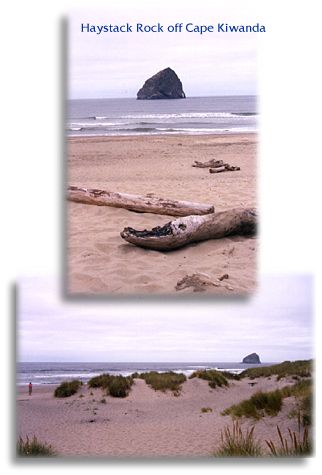
At Pacific City we pulled into Robert Straub State Park. Here we got our first look at Haystack Rock — one of two monoliths with this name off the coast. (We'd see the other later in the day at Cannon Beach.) This one is the larger at 327 feet. Even with the misty weather many people were driving out onto the beach near the Rock and Cape Kiwanda. (some getting stuck in the sand). A nice town and vacation spot, the guide book said Pacific City's main claim to fame is the Pacific dory fleet. Flat-bottomed dories are needed to navigate through treacherous bars, to get to the good fishing areas beyond. 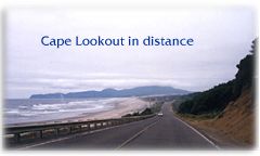 After
a stop to buy postcards, write a few and drop them at the post office,
we were back on the road; we could see Cape Lookout up ahead ... After
a stop to buy postcards, write a few and drop them at the post office,
we were back on the road; we could see Cape Lookout up ahead ...
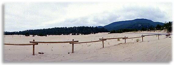
Turning west toward the Cape, we saw a sign pointing us to Sand Lake ... I wondered, a fresh or salt water lake? It didn't occur to me that it would be neither:
It really was a sand lake ... natural, native dunes bordered by a dense coastal forest — with no gradual transition between the two!
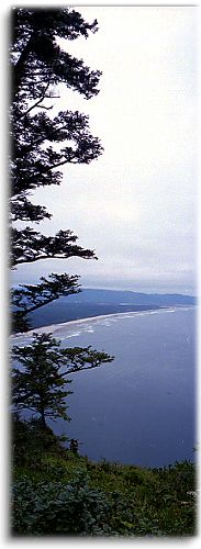
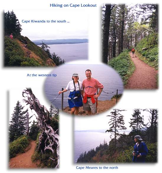
We soon realized we were hiking a coastal rainforest ... very lush, dense, big and green. We could have been in a mountain forest anywhere ... but then, it got brighter ... and suddenly we found ourselves high above the Pacific, as the trail ran right along the steep cliff of the Cape. It was very windy along the ledge, and so spectacular ... it was a long way down. The trail would take us back and forth between the depths of the forest and the open edges of the peninsula ... it was a long hike. Some time after getting the southern view, we emerged on the cape's other side and got a look north to Cape Meares. Then it was back in the woods again ... we finally reached the western tip and turnaround point ... now another 2.6 miles back! If we'd known we'd be doing a 5+ mile hike, I doubt a gym workout would have been in our plans that morning. Oh well, you can never get enough exercise ... We saw many immense trees ... some were twisted into neat shapes by the wind, others had felt nature's wrath and took on new purpose as arches and bridges across the trail. We started the hike feeling cold, in the shade of the forest. After a while we saw hopeful breaks in the clouds ... it was going to brighten up. And we had definitely warmed up, from the brisk pace we were keeping.
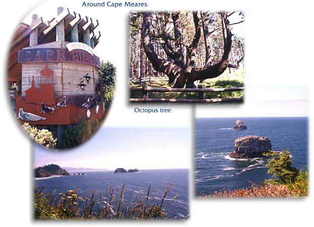
Upon closer inspection, these Rocks were amazing ... they actually did have arches carved out of their forms, but these could only be seen at certain angles. The beach nearby was great ... huge. That seemed to be the norm along the Oregon Coast — everything had such massive proportions. People were sunning themselves on the nearby hillside, out of wind's way.
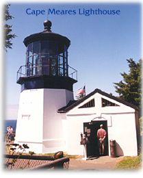
Then, Cape Meares itself ... another walk (on aching feet) out to the
lighthouse ... at 38 feet,
the shortest on the Oregon coast — though it was plenty high up
in this spot! The views in all directions were magnificent ... back to Three Arches and out to other mammoth rock monoliths. Through the binoculars we saw the thousands of riotous seabirds that live on these rocks — unbelievable. They are also home to sea lions. Yet another walk (this one really got us) uphill to the Octopus Tree — a giant Sitka spruce. The trunk was split into branches that spread candelabra-like, pointing skyward. Legend says that Indians deliberately molded this, to form a burial tree for a chief and his canoe.
Time to move again. We rejoined 101 in Tillamook, a pretty, nice-sized community. As I drank a fortifying vanilla malt, we passed an interesting sight: The Cheese Factory, where 50 million pounds of cheese are produced each year. The guide book said Tillamook county is home to 23,300 people and 22,000 cows. Cheese is big business here (we'd get a Tillamook cheese snack on our flight home). It was getting late and we still had more miles and beautiful scenery ahead of us, before we got to our destination: Seaside.
© 2000 CCarnovale Home | Web Design | Graphics | Photos | Travels
|
 Hoping
for clearer skies, we headed north on 101. The Three Capes Route was
just ahead ... it swung west of 101 and ran for 35 miles along the coast,
and true to its name, would take us along the headlands of Cape Kiwanda,
Cape Lookout and Cape Meares.
 Whew,
it was good to get back to the car and sit down; and we were off to
the last Cape in this troika, Cape Meares. Along the way, the sun came
out and all was right with the world. This was a beautiful stretch.
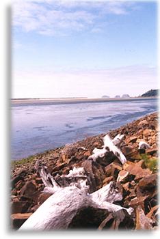
We passed a tidal pool, the light was glorious, luminous. I watched
a heron wade, then fly off, skimming the water's surface; Three Arch
Rocks were in the distance.
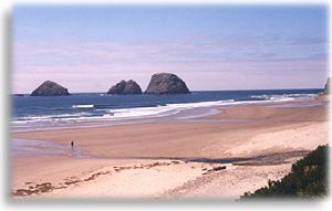 The
town of Oceanside was opposite the beach ... the houses were tiered
up a hill, Mediterranean style. What a great location, location, location.
