 |
|
|
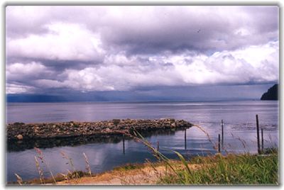
We continued north on 101, to 113, then went west on 112. At the small town of Clallam Bay, we got our first look at the Strait of Juan de Fuca ... and Vancouver Island on the opposite shore.
The clouds
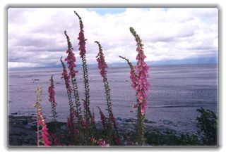
and light were in constant flux, on the Strait, its Washington and British
Columbia shores. I spotted a bald eagle perched on a post in the water
just in front of us. He was enjoying a fresh fish catch ... a fascinating
guy, so regal and self-assured.
The Strait was continually riveting ... I had to call for many stops to take it in. It was about 16 miles across, pretty uniformly, to Vancouver Island, as it ran parallel and mirrored this northern shore of the Olympic Peninsula. I imagined these two land masses were one many eons ago, before glaciers or comets or some such cataclysmic event caused them to separate. It wasn't
long before we reached Neah Bay ... on the Makah Indian reservation.
Almost the end of the line, but we'd be going a bit further ... to another
"ernmost" point (we seemed to find these on every trip). We followed a pretty trail through thick woods. Fortunately, the Makahs have built boardwalks over marshy, muddy areas. We passed a handicapped man, alone, on his way back. It was obviously a great effort for him to walk, but he'd made it. He looked happy and content as he greeted us. The trail
was longer than we expected; the ocean must be around the next
bend ... but it was elusive. Finally, it got brighter, and we came to
platforms that offered views in three directions.
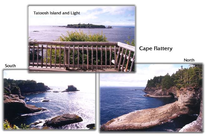
Off to the west was little Tatoosh Island and its lighthouse, which point the way into the Strait of Juan de Fuca. (Technically the island was the northwesternmost point in the lower 48, but of course not a contiguous one.)
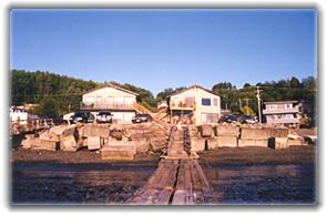
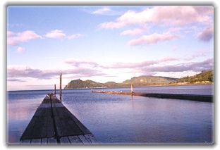
And, as at our hotel on the Columbia River, there was a mesmerizing view of water, sky and landscape. Long piers extended out from the waterfront ... but no fishing boats around, just seagulls looking for leftovers. Clallam Bay was to the east, and the distant shore of Vancouver Island was visible to the north. We found the only restaurant around, just down the highway, and had a dinner of Dungeness Crab and Sockeye Salmon, accompanied by a view of the Strait and Sekiu as the sun got lower.
As the morning dawned beautifully in Sekiu, it felt great to have yet another day to enjoy the Northwest; but better get a move on; there's much to see, and choices to be made. 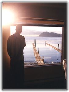
We visited our favorite restaurant again for breakfast. A waitress approached the table, and without any preamble announced: We lost everything in Elko. Oh no, I thought, a house fire? flood? I carefully ask, what do you mean? It seemed she and her mother went to Nevada on a gambling junket and lost their money. Oh. Later, as Peter was paying the bill, she wondered where we were from. Massachusetts. "Where the hell is that?" she asked.
© 2000 CCarnovale Home | Web Design | Graphics | Photos | Travels
|
 Unique
water. Like a river in its shape, but with a much wider and
  In
looking ahead at this stretch on the map I'd figured it must be a popular
vacation area, very commercial with hotels, restaurants, stores, attractions.
As we continued west along the waterfront, I was at first surprised,
then suspicious. Where was everyone and everything? It was amazingly
free of all that I'd expected, and full of only
  There
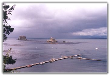
were a few port areas, some with long docks, but not much activity.
I'd later learn that restrictions on salmon fishing there had really
cut into business. We also saw a few sea stacks (or maybe strait stacks?)
offshore.
 When
the paved road ended, we continued another five miles on a bumpy dirt
road, to its end. We were on Cape Flattery — the northwesternmost
point in the continental U.S. We got ready to hike the rest of the way,
about 3/4 of a mile. (Seen at the trail head: La Pooh brand port-a-potties.)
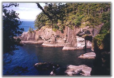 There
were great caverns carved into the rocky cliffs, and
  There
was a boat navigating close to the rock walls — not a place you'd
want to be with a strong surf ... but they must have had some interesting
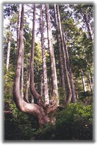
views into the caves. On our hike back, we saw this multi-limbed tree.
I found this unheralded octopus tree more appealing than the
 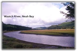 It
was time to find a place to settle for the night, and we knew there
weren't many accommodations around — no complaints though. Going
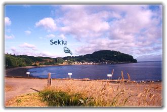
back east on 112 we took a sharp left off the highway into Sekiu, a
small harbor town tucked against the side of a hill.